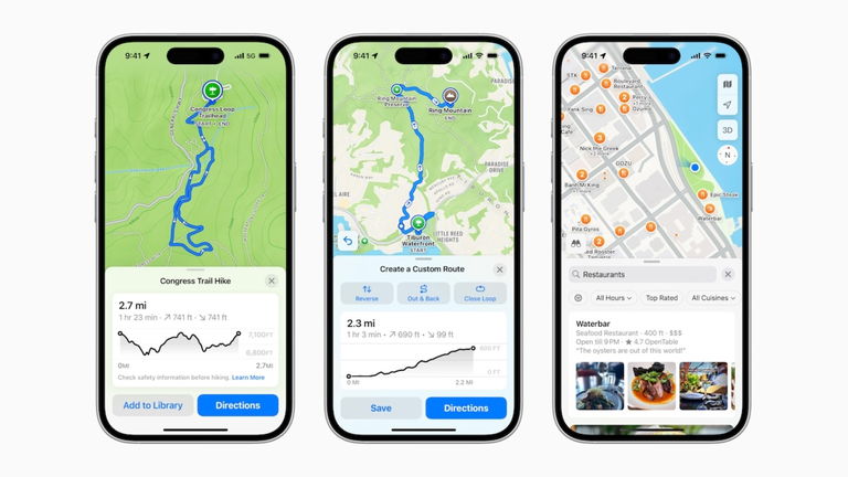
Maps in iOS 18 takes a big step forward, so it’s no longer a common app to get from one point to another, but you’ll be able to explore entire cities and discover them your way with the following new features

Those from Cupertino They have been working tirelessly to improve the user experience of the Maps app.. This allows more iPhone users running iOS 18 to trust Apple’s native app over others like Google Maps. With the release of new operating systems, features are provided that will greatly help you discover new places. and explore others they already consider favorites or acquaintances. Let’s see how Apple has improved it.
Create your own route and explore the new and improved place search
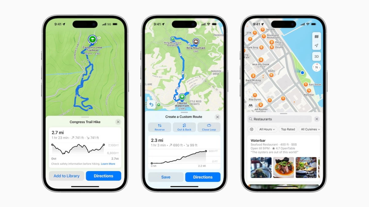
Without a doubt, Users who enjoy walking and hiking will be able to create personalized walking routes. The routes are personalized since they are based on the user’s preferences. They work for walking in a new city or an unknown neighborhood. In case you have a wooded park or a remarkable territory to be ideal for hiking, you can create and save said route to use it even without data coverage and also have it available on the Apple Watch.
In the words of Eddy Cue, Apple’s senior vice president of services via a press release:
Apple Maps is the best way to travel and discover the world. We’re excited to bring users an even better experience with these updates. Maps makes planning any trip easy and fun, with helpful, turn-by-turn features that only Apple can deliver.

Rich results by location in Apple Maps
A new Places Library has also been added, available on iPhone, iPad, and Mac. It is ideal for creating a guide or record of favorite places, a list of places to visit, etc. The important thing is that all locations are saved and you can add photos or notes about these places
On the other hand, Find ing places in Apple Maps is much better than before
Apple Maps Becomes Best App for Exploring National Parks and Topographic Maps
If you are in the United States, With your iPhone updated to iOS 18, you can explore thousands of hiking trails in different national parks. Apple is highlighting Acadia National Park in Maine, Yosemite in California and even Bryce Canyon in Utah.

Custom Routes in Apple Maps
It’s all based on user preferences since They can be planned by distance, elevation and route type filters. It is also possible to download the routes to consult them offline on both the iPhone and the Apple Watch. As if that were not enough, topographic maps compatible with places in the United States and Japan are included.
You will no longer need to resort to another third-party application to plan a short or long routeespecially if you decide to take a trip to national parks or unknown places.
You can follow iPadized on Facebook, WhatsApp, Twitter (X) or check out our Telegram channel to stay up to date with the latest tech news.
This article suggests objective and independent products and services that may be of interest to readers. When the user makes a purchase through the specific links that appear in this news, iPadizate receives a commission. Join the iPadizate offers channel to discover the best offers before everyone else.


