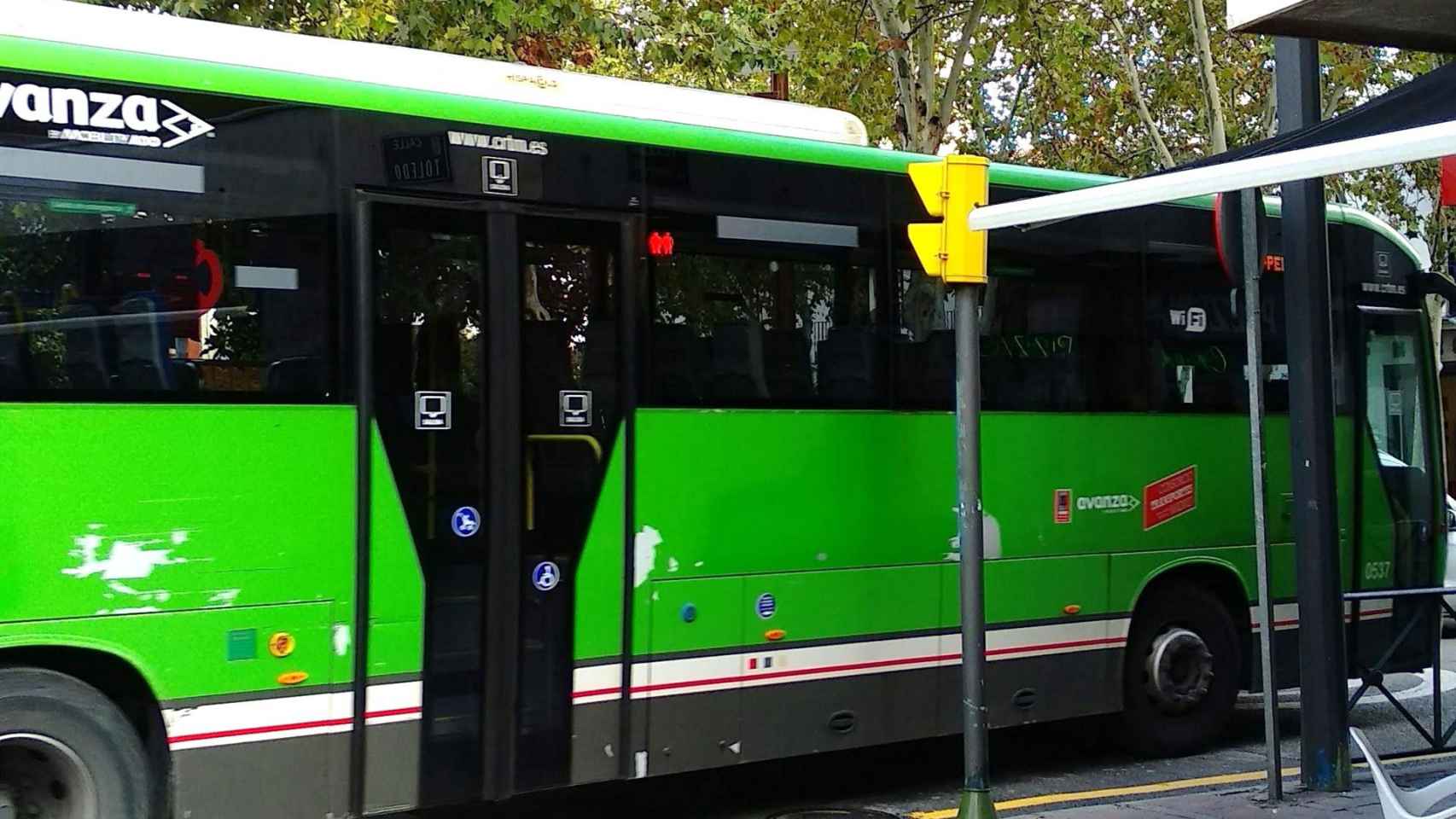
Artificial intelligence, which has become popular in recent months, is just the tip of the iceberg of a technological revolution that will change the way millions of people do many things in daily life, both in Europe and elsewhere. ‘other countries. A good example is the application All_Aboard, which helps blind people take the bus independently.
Although there were already applications that guided the blind to certain GPS coordinates, this new application does it much more precisely, or even identify elements using artificial vision, to ensure that the person has arrived exactly at the desired stop. In this way, we avoid the problem of GPS accuracy, which is not always the same.
This application has been developed by a team of scientists from the Massachusetts Eye and Ear Research and Treatment Center, attached to Harvard University. It was designed to be used in conjunction with a GPS positioning application, such as Google Maps.
Use the camera
The biggest innovation of this application is the use the camera to, thanks to artificial intelligence, effectively cover the last few meters. The app works like sonar, beeping when the person approaches the place they want to go, in this case the bus stop.
As you get closer, The beeps will vary to confirm that the path taken is the correct one.. This is where the camera comes into play which, thanks to artificial intelligence, is capable of recognizing certain elements of a stop, such as the plate which announces the number of the line passing there. This way it is much easier to ensure that this person arrives at the exact point.
All_Aboard app
This application It is based on a deep learning neural network which was trained with around 10,000 images of bus stops in a specific city. The app is able to visually identify the target stop sign if it is within 15 meters. Once the signal is detected, the app modifies the sonar sounds to get you as close as possible to the signal, where the buses stop.
This makes a significant difference in accuracy. which is obtained by bringing these users closer to the stops. For example, Google Maps alone had a 52% success rate, while All_Aboard had a 93% success rate. Additionally, while the average distance from the end point of the map to the actual bus stop was just over 6.5 meters with Google Maps, it was only 1.5 m with All_Aboard.
All_Aboard Screenshots
All_Aboard was designed for use in 10 major cities from around the world and is currently available for use on iPhone, via the App Store. It can also be used on Android phones, with the app available on the Google Play Store. The only drawback is that its expansion depends on the preparation of the application file for each city.
Currently, it is available on the Massachusetts Transportation Network (MBTA), New York City MTA, California CA Transit, Chicago CTA, Los Angeles Metro, Seattle Metro, Washington DC Metrobus and, outside of the United States, the Toronto. TTC, London Bus Services and on buses and trams in Germany.


